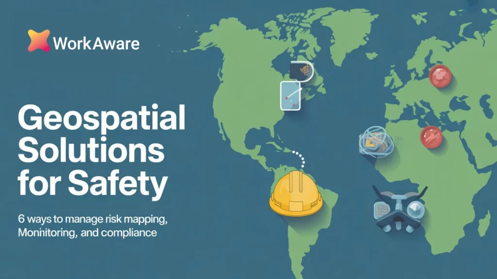
Geospatial Solutions for Safety: 6 Ways to Manage Risk Mapping, Monitoring, and Compliance
Today, in high-risk industries such as construction or mining, success is no longer just about productivity but also about doing the job safely and sustainably. Safety means having data visibility and accurate location-based intelligence.
Relying on outdated tracking methods is no longer efficient and is directly affecting the workers and slowing down operations.
That’s where geospatial solutions come in. It’s the next generation of digital mapping and intelligence tools that are transforming how organizations monitor and manage risk across locations.
By analyzing and visualizing spatial data, geospatial technology helps empower organizations to pinpoint hazards before they escalate and streamline operations accurately.
In this guide, we will explore how geospatial solutions can enhance modern safety management, from field monitoring to risk prediction in the modern workplace.
6 Core Ways Geospatial Systems Transform Safety Operations
Geospatial tools give organizations a strategic advantage because they get to see what’s happening on the ground. They unify location data, field operations, and workplace safety management requirements into one visual framework.
The organizing principle is location, so these systems unlock six core capabilities that improve safety coverage.

1. Hazard Identification and Mapping
A geospatial mapping system can facilitate a comprehensive hazard identification and mapping, enabling administrators to:
- Map out potential risk zones in detail, such as areas prone to flash flooding, insurmountable slopes, or chemical storage.
- Help workers avoid exposure to dangerous zones by creating a digital barrier that blocks access and alerts personnel when they try to approach a restricted area.
2. GPS Tracking and Monitoring
Now, this is essential for personnel working remotely, alone, or in dangerous environments. Live tracking of the worker, vehicles, and essential assets is for:
- In emergencies, knowing the exact location of a team member allows first responders to locate them immediately.
- The safety of lone workers is essential in industries like mining, where isolation is standard. The system enforces digital check-in protocols and sends alerts when the worker deviates or becomes stationary for an unusual period of time.
- Location tracking of some of the company assets, like cranes, drilling rigs, or vehicles. It ensures that the asset can be used immediately in case of operational failure.
3. Spatial Decision Support Systems
Modern geospatial platforms act as spatial decision support systems (SDSS). They provide the necessary data from weather, sensors, and telemetry, and merge them into live feeds. Enabling managers to:
- Efficiently conduct risk assessment by simulating potential scenarios.
- Simplify emergency protocols by letting the system immediately highlight every asset and personnel at risk and map out the evacuation routes.
Visually answer complicated analytical questions.
4. Regulatory Compliance Mapping
Keeping accurate and detailed records of safety procedures is a regulatory requirement, especially for high-risk sectors.
With regulatory compliance mapping, this uses a geospatial framework to maintain records that are linked to a location. It simplifies audits and makes sure they adhere to the law.
Regulatory compliance mapping includes:
- A clear visual documentation of safety zones, restricted areas, and exclusion zones so compliance is clear and verifiable.
Setting up geofence alerts around sensitive areas that flag unauthorized entries, which prevents violations.
5. Real-Time Data Collection & Field Insights
With geospatial solutions digitizing every activity, it has eliminated the need for paper checklists and reports that significantly reduce safety visibility. It allowed:
- Immediate field visibility for workers to do complete digital safety checks or reports, which are then instantly uploaded and GPS-stamped.
- Accurate spatial data analytics because every report is location-verified. It improves the quality, with no second-guessing about where something happened.
- A clearer data context because of the geotagged photos, which helps managers understand the reported safety issue.
6. Geospatial Modeling & Predictive Analytics
With geospatial modeling, analyzing complex factors and other variables, over time, these models can:
- Forecast environmental events like droughts and rainfall, and also predict time-sensitive hazards like landslides and erosion.
- Predict structural failures by using the integrated data from smart sensors in infrastructures, which can also help predict structural stress points.
- Do risk-based maintenance and scheduling to fix the highest-probability problems first.
Why Traditional Safety Programs Fail: Geospatial vs. Traditional
Traditional safety programs, often relying on paper reports, radio calls, and static maps, lack the dynamic, real-time context necessary for modern high-risk operations. Geospatial Solutions for Safety overcome these limitations by integrating location intelligence into every safety decision.
| Safety Factor | Traditional/Static Safety Program | Geospatial Solutions for Safety | Optimization Impact |
|---|---|---|---|
| Data Context | Data is isolated; reports lack location-specific risk context. | Unified, real-time context: Hazards are visually overlaid on worker locations. | Proactive risk awareness |
| Response Time | Delayed; relies on manual reporting or phone calls to verify location. | Instantaneous: Automatic geofence alerts or man-down signals trigger immediate GPS-guided response. | Faster emergency resolution |
| Risk Mapping | Static maps (paper or PDF) that are quickly outdated. | Dynamic Hazard Mapping: Maps are updated instantly with new risks (e.g., changing weather, ground instability). | Continuous accuracy |
| Audit Trails | Paper forms and spreadsheets prone to loss or inconsistency. | Automated, Location-Stamped Records: Provides an irrefutable, digital compliance record. | Simplified, faster audits |
| Forecasting | Reactive; only tracks past incidents. | Predictive Analytics: Uses spatial trends to forecast where and when an incident is most likely to occur. | True prevention |
Building a Geospatial Safety Ecosystem: Implementation Strategies and Best Practices
Adopting geospatial solutions requires more than purchasing a new software licence. A clear plan must be set, this is to ensure integration and cultural change in order for you to build a safety ecosystem.
1. Assess Readiness and Define Needs
When you struggle with tracking your lone workers, environmental compliance, and incident reporting, conduct a thorough audit of your current infrastructure and identify your pain points. Prioritize implementing a hazard identification and mapping on a challenging site. If it works well and you have solid proof of concept, you can then move on to more advanced features.
2. Integrate Platforms Strategically
A geospatial platform value multiplies when it can easily integrate into your existing system. It should be integrated into:
- Safety management
- Asset tracking
- HR
- Operational planning software
This is what enables spatial data analytics and allows the system to link a field incident to the equipment involved automatically, the worker’s training record, and the permit for that site.
3. Standardize Data Governance
Make sure to be consistent in the way you collect your data, from assets to coordinates; this is to ensure that your data is usable and accurate for the spatial decision support system.
4. Upskill Your Workforce
Train your workforce effectively; the system only works if the people using it are competent. Do GIS training programs, especially for safety managers, field supervisors, and even front-line workers.
It should cover the mechanics of the software and the skill of interpreting spatial data.
5. Start Small and Scale Thoughtfully
Let’s be realistic, so don’t try to transform everything overnight. Concentrate on launching the system and its success, and monitor the reduction or decrease of the following:
- Incident report time
- Emergency response time
- Near-miss incidents in high-risk zones
And then use those metrics to build your case for a scale-up across the entire organization.
Building a Geospatial Safety Ecosystem: Implementation Strategies and Best Practices
Geospatial services have evolved into full automation and predictive intelligence. The next generation of safety management is being built on merging technologies and promising a future where risk is anticipated rather than managed.
AI-Powered Hyper-Prediction
AI will soon transform how we interpret data from geospatial modeling. It is moving beyond the simple patterns to running advanced algorithms.
It can now process thousands of environmental, operational, and historical safety variables simultaneously.
Leading to a shift to predictive risk management. Wherein the system not only flags the existing hazards but also forecasts when and where risks might emerge. This results in enabling preventative actions in advance.
IoT Sensor and Drone Integration
The growing deployment of IoT (Internet of Things) sensors and UAVs is creating a constant stream of live environmental data feeds. These include real-time readings on gas levels, air quality, structural movement, and temperature. And it is fed directly into the GIS, giving safety managers continuous real-time awareness.
A drone performing a routine safety inspection can automatically log a geotagged photo of a violation, classify the risk level using AI, and route the nearest supervisor to the precise coordinates, all within minutes.
Mobile-First and Automated Compliance
The demand for geospatial solutions will shift entirely toward cloud-based architectures, ensuring that these are accessible and usable by any device. It automates many aspects of regulatory compliance mapping.
Systems will automatically generate required compliance documentation and proof-of-work records simply by monitoring the GPS location and digital checklists of the field crew.
It will also raise the demand for certified GIS professionals and specialized spatial data analytics roles.
Mapping the Future of Safe, Data-Driven Workplaces
Geospatial mapping systems are fundamentally redefining what effective safety management is in the 21st century. By intelligently and accurately connecting people, assets, places, and data in real time, they provide a layer of operational insight that was previously impossible.
These solutions empower modern organizations to successfully:
- Predict and prevent life-threatening risks through advanced geospatial modeling.
- Ensure instant, audit-proof compliance with visual, location-stamped records.
- Create safer, more resilient work environments by embedding spatial intelligence into every decision.
The days of making critical safety decisions based on outdated or paper-based records are fading.
The organizations that are investing in these geospatial solutions today are building the necessary foundation for the safer, more innovative, and more profitable workplaces of tomorrow.